Articles liés ŕ Collins Nicholson Guide to the Waterways 5: North West...
L'édition de cet ISBN n'est malheureusement plus disponible.
Afficher les exemplaires de cette édition ISBN
- ÉditeurCollins
- Date d'édition2009
- ISBN 10 000728165X
- ISBN 13 9780007281657
- ReliureCouverture ŕ spirales
- Nombre de pages208
- Evaluation vendeur
Acheter D'occasion
état : SatisfaisantNOT an ex-library book. Clean copy... En savoir plus sur cette édition

EUR 66,36
Frais de port :
EUR 38,97
De Royaume-Uni vers Etats-Unis
Meilleurs résultats de recherche sur AbeBooks
Image d'archives
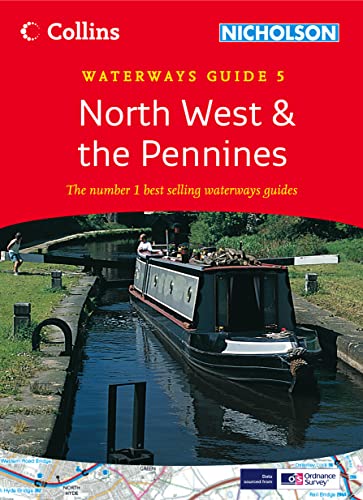
Collins/Nicholson Waterways Guides (5) â " North West and the Pennines
Edité par
Collins
(2009)
ISBN 10 : 000728165X
ISBN 13 : 9780007281657
Ancien ou d'occasion
spiral_bound
Quantité disponible : 1
Vendeur :
Evaluation vendeur
Description du livre spiral_bound. Etat : Good. NOT an ex-library book. Clean copy in good condition. Quick dispatch from UK seller. N° de réf. du vendeur mon0000407998
Acheter D'occasion
EUR 66,36
Autre devise
Image d'archives
North West and the Pennines: Book 5 (Collins/Nicholson Waterways Guides)
Edité par
HarperCollins Publishers, United Kingdom, London
(2009)
ISBN 10 : 000728165X
ISBN 13 : 9780007281657
Ancien ou d'occasion
Paperback
Quantité disponible : 7
Vendeur :
Evaluation vendeur
Description du livre Paperback. Etat : Very Good. Popular guide covering the canals and waterways in the north west of England around Merseyside and Manchester. Colour Ordnance Survey maps clearly show locks, towpaths and boating facilities. There are also comprehensive navigational notes as well as descriptions of the towns and villages, pubs and restaurants alongside the waterways. In print for over 30 years, the Collins/Nicholson guides to the waterways have always been a vital part of journeys along Britains canals and rivers. They are designed for anyone and everyone with an interest in Britains inland waterways from experienced boaters to those planning their first boat trip, as well as walkers, cyclists and visitors. The Ordnance Survey Maps have added information showing: Locks, bridges, tunnels, aqueducts, winding holes and towpaths. Waterpoints, sanitary stations, pump out facilities and refuse disposal. Boatyards, pubs, restaurants and local shops. Mile markers and milestones (distance in miles and number of locks to strategic points along the waterways). Text includes: The history and background to each canal. Local services and places of interest, pubs and restaurants and NEW for this edition: postcodes added for each place. Opportunities for walking and cycling. NEW for this edition: notes on wildlife to be found along the waterways. Comprehensive navigational notes include: Maximum dimensions and low bridges. Mileages, advice and potential hazards. Navigation authorities and contact details. Waterways covered in this guide Aire & Calder Navigation, Bridgewater Canal, Calder & Hebble Navigation, Huddersfield Narrow Canal, Huddersfield Broad Canal, Lancaster Canal, Leeds & Liverpool Canal, Macclesfield Canal, Peak Forest and Ashton Canals, Rochdale Canal, Trent & Mersey Canal. The book has been read, but is in excellent condition. Pages are intact and not marred by notes or highlighting. The spine remains undamaged. N° de réf. du vendeur GOR002514664
Acheter D'occasion
EUR 132,69
Autre devise