Articles liķs Ó Loch Lomond and Inveraray
L'ķdition de cet ISBN n'est malheureusement plus disponible.
Afficher les exemplaires de cette ķdition ISBN
Used book
Les informations fournies dans la section ½ Synopsis ╗ peuvent faire rķfķrence Ó une autre ķdition de ce titre.
- ╔diteurOrdnance Survey
- Date d'ķdition1997
- ISBN 10 031922290X
- ISBN 13 9780319222904
- ReliureCarte
- Numķro d'ķdition2
Acheter D'occasion
ķtat : SatisfaisantUsed book that is in clean, average... En savoir plus sur cette ķdition

EUR 3,85
Frais de port :
Gratuit
Vers Etats-Unis
Meilleurs rķsultats de recherche sur AbeBooks
Image d'archives
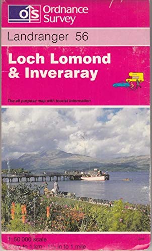
Landranger Map 0056 : Loch Lomond and Inveraray
Editķ par
Ordnance Survey
(1997)
ISBN 10 : 031922290X
ISBN 13 : 9780319222904
Ancien ou d'occasion
Quantitķ disponible : 1
Vendeur :
Evaluation vendeur
Description du livre Etat : Good. Used book that is in clean, average condition without any missing pages. N░ de rķf. du vendeur 38710000-20
Acheter D'occasion
EUR 3,85
Autre devise
Image d'archives
Loch Lomond and Inveraray: Sheet 56 (Landranger Maps)
Editķ par
Ordnance Survey, United Kingdom, Hants
(1997)
ISBN 10 : 031922290X
ISBN 13 : 9780319222904
Ancien ou d'occasion
Paperback
Quantitķ disponible : 4
Vendeur :
Evaluation vendeur
Description du livre Paperback. Etat : Very Good. This map is part of the Landranger (Pink) series and is designed for people who really want to get to know an area. It includes the following information: tourist information, camping and caravan sites, picnic areas and viewpoints, selected places of interest and rights of way information for England and Wales. Each map in the series covers an area of 40 km by 40 km (25 miles by 25 miles) and like other Ordnance Survey maps, National Grid squares are provided so that any feature can be given a unique reference number. Perfect for planning ahead and local excursions, these maps are full of useful information that will help you really get to know an area. The book has been read, but is in excellent condition. Pages are intact and not marred by notes or highlighting. The spine remains undamaged. N░ de rķf. du vendeur GOR002554022
Acheter D'occasion
EUR 4,81
Autre devise
Image d'archives
Loch Lomond and Inveraray: Sheet 56 (Landranger Maps) Ordnance Survey
Editķ par
Ordnance Survey
ISBN 10 : 031922290X
ISBN 13 : 9780319222904
Ancien ou d'occasion
Quantitķ disponible : 1
Vendeur :
Evaluation vendeur
Description du livre Etat : Fair. Fair Offered by the UK charity Langdon: supporting people with disabilities. N░ de rķf. du vendeur box363/justin9
Acheter D'occasion
EUR 4,81
Autre devise