Articles liķs Ó The Natural World
L'ķdition de cet ISBN n'est malheureusement plus disponible.
Afficher les exemplaires de cette ķdition ISBN
Prķsentation de l'ķditeur :
Biographie de l'auteur :
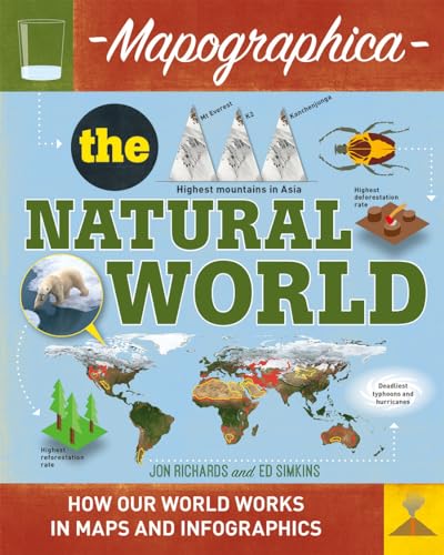
New to Wayland's highly popular visual literacy programme, Mapographics uses maps as a vehicle to present a wide range of information in a graphic way. A combination of maps, colour coding and graphics give a local or global perspective on a topic, for example the global spread of languages and population, energy use worldwide, or inhabited and uninhabited areas of the planet. The series also looks at information such as the range of crops or jobs within a continent or country.
Each spread features a map focussing on one particular topic, supported by infographic panels full of related information. A question panel on each spread encourages readers to think in more depth about the topics discussed.
Jon Richards is an award-winning author of non-fiction books for children. He specialises in visual literacy, infographics and data visualisation.
Ed Simkins is an award-winning illustrator and graphic designer of children's books. His work focuses on data visualisation such as infographics and innovative data maps.
Ed Simkins is an award-winning illustrator and graphic designer of children's books. His work focuses on data visualisation such as infographics and innovative data maps.
Les informations fournies dans la section ½ A propos du livre ╗ peuvent faire rķfķrence Ó une autre ķdition de ce titre.
- ╔diteurCrabtree Publishing Company
- Date d'ķdition2016
- ISBN 10 0778726584
- ISBN 13 9780778726586
- ReliureBelle reliure
- Nombre de pages32
- Evaluation vendeur
(Aucun exemplaire disponible)
Chercher: Crķez une demandeSi vous ne trouvez pas un livre sur AbeBooks, nous le rechercherons automatiquement pour vous parmi les livres quotidiennement ajoutķs au catalogue.
Crķez une demande