Articles liés ŕ Monkwearmouth and Southwick 1895: Durham Sheet 8.10
L'édition de cet ISBN n'est malheureusement plus disponible.
Afficher les exemplaires de cette édition ISBN
- ÉditeurAlan Godfrey Maps
- Date d'édition1983
- ISBN 10 090755444X
- ISBN 13 9780907554448
- ReliureCarte
Acheter neuf
En savoir plus sur cette édition
EUR 3,32
Frais de port :
EUR 35,69
De Royaume-Uni vers Etats-Unis
Meilleurs résultats de recherche sur AbeBooks
Image d'archives
Monkwearmouth and Southwick 1895: Durham Sheet 8.10
Edité par
Alan Godfrey Maps
(1983)
ISBN 10 : 090755444X
ISBN 13 : 9780907554448
Neuf
Quantité disponible : 2
Vendeur :
Evaluation vendeur
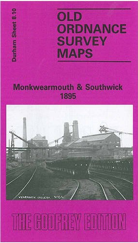
Description du livre No Binding. Etat : New. No Jacket. Here are the details of maps for Monkwearmouth: Co Durham Sheet 8.10 Monkwearmouth & Southwick 1895 - published 1983, 2nd edition 2019; intro by Tom Corfe & Alan Godfrey. ISBN.978-1-78721-251-0 This busy and highly detailed map is one of a group we have published for the City of Sunderland. The map covers an area from Southwick eastward to Brandling Street, Monkweamouth, and from Wearmouth Colliery northward. This was an early map in The Godfrey Edition and has now gone to a new edition with an extended introduction. Features include railways, Wearmouth colliery, tramways, Monkwearmouth Iron Works, All Saints church, Sunderland AFC's original stadium, Wearmouth Foundry, Ayre's Quay Bottle Works, St Columba's church, Deptford Yard, Low Southwick, High Southwick, Holy Trinity church, Carley Hill Wagonway, Cornhill Dock, Marine Engineering Works, shipbuilding yards, Cornhill Glassworks, etc. This map links up with Sheets 8.06 Fulwell to the north, 8.09 Hylton Castle to the west, 8.07 Roker Seafront to the east, and 8.14 Central Sunderland to the south. N° de réf. du vendeur 002501
Acheter neuf
EUR 3,32
Autre devise