Articles liķs Ó Handy Map of Glasgow
L'ķdition de cet ISBN n'est malheureusement plus disponible.
Afficher les exemplaires de cette ķdition ISBN
Prķsentation de l'ķditeur :
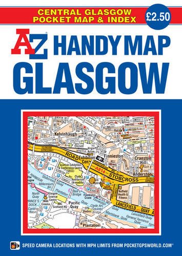
This A-Z Handy Map of Glasgow is a full colour, double-sided, fold-out sheet map covering central Glasgow; extending to Ruchill in the north, Cathcart in the south, Shieldhall in the west and Tollcross in the east. Postcode districts, one-way streets, safety camera locations with speed limits and park and ride sites are featured on the street map. In addition, tourist attractions, sporting venues, subway (SPT) stations and other places of interest are clearly identified and named. The reverse side includes a comprehensive index to streets, tourist attractions, sporting venues and public transport stations. A quick reference rail and subway connections map is also included. Folding down to a compact 160 x 115 mm this pocket sized, self-covered map is lightweight and easy to use.
Les informations fournies dans la section ½ A propos du livre ╗ peuvent faire rķfķrence Ó une autre ķdition de ce titre.
- ╔diteurGeographers' A-Z Map Co Ltd
- Date d'ķdition2014
- ISBN 10 1782570446
- ISBN 13 9781782570448
- ReliureCarte
- Numķro d'ķdition1
- Nombre de pages1
(Aucun exemplaire disponible)
Chercher: Crķez une demandeSi vous ne trouvez pas un livre sur AbeBooks, nous le rechercherons automatiquement pour vous parmi les livres quotidiennement ajoutķs au catalogue.
Crķez une demande