
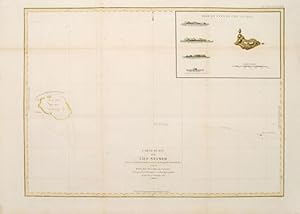
Carte plate de l'Ile Necker.
LA PÉROUSE, Jean Francois de Galaup.
Edité par Paris: 1797
Vendeur Peter Harrington. ABA/ ILAB., London, Royaume-Uni
Vendeur AbeBooks depuis 26 juillet 1999
Evaluation du vendeur
![]()
Afficher tous les articles du vendeur
Quantité disponible : 1