Montant total (1 article articles) :
Destination de la commande :

TOOLEY, R V ; BRICKER, CHARLES; CRONE, GERALD ROE (10 résultats)
Votre recherche :
Auteur :
TOOLEY, R V ; BRICKER, CHARLES; CRONE, GERALD ROE
Modifier votre recherche
Passer aux résultats principaux de la recherche
Type d'article
- Tous les types d'articles
- Livres (10)
- Magazines & Périodiques
- Bandes dessinées
- Partitions de musique
- Art, Affiches et Gravures
- Photographies
- Cartes
-
Manuscrits &
Papiers anciens
Etat
- Tous
- Neuf
- Ancien ou d'occasion
Reliure
- Toutes
- Couverture rigide
- Couverture souple
Particularités
- Edition originale (1)
- Signé
- Jaquette (8)
- Avec images (2)
- Sans impression ŕ la demande
Pays
Evaluation du vendeur
-

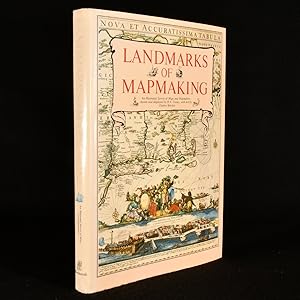
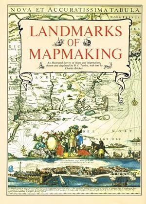
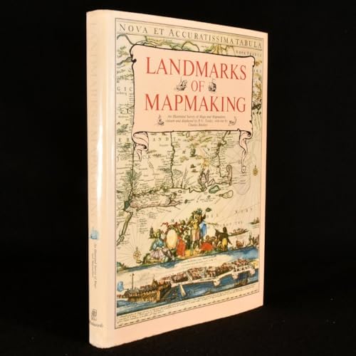
Landmarks of Mapmaking; An Illustrated Survey of Maps and Mapmaking
Edité par . Amsterdam, Brussels, Elsevier, [1976], First American edition., 1976
folio [41 x 28 cm]; 276 pp, over 350 illus, including maps, portraits, title pages and reproductions from early sources, 14 color double-page folding maps, other color illus, bibliog, index. original cloth, gilt lettering, gilt and white vignette on front cover, pictorial endpapers, dj (lightly rubbed at edge, price clipped), a fine copy in lightly worn very good dj, covers bright. A standard reference and a beautifully produced and illustrated work covering the development of cartography, the exploration and mapping of Europe, Asia, Africa, the Americas and Australia. Tooley and Crone were major authorities in the field of cartography. Print and antique stores have framed maps from other copies of this book because of their high quality. A picture of this book is available on request.
-
Landmarks of Mapmaking; an Illustrated Survey of Maps and Mapmakers. Maps Chosen and Displayed by R.V. Tooley. Preface by Gerald Roe Crone
Edité par Elsevier, Amsterdam, Netherlands, 1968
Hardcover. Etat : Very Good. Etat de la jaquette : Good+. 1968. Nice Firm Clean copy ! Light general wear. 276 pages. 6503L.
-
Landmarks of Mapmaking. An Illustrated Survey of Maps and Mapmaking.
Vendeur : Hatt Rare Books ILAB & CINOA, Hägersten, Sučde
Membre d'association : ILAB SVAF
Evaluation du vendeur :

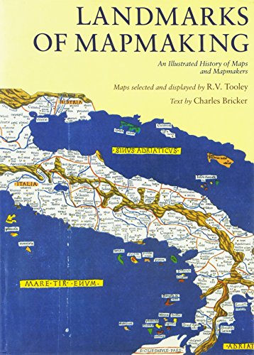
Publisher's brown cloth, pictorial dust-jacket in colour, very fine. Oxford, Phaidon Press Ltd, 1989. 4vo. 276 pp. Profusely illustrated with historical maps in colour, some folding. With index. Contents: "Introduction: the Mapmaker's Skills", "Europe: the Rise of Map Publishing", "Asia: Seaway to the Indies", "Africa: the Mysterious Continent", "The Americas: a New World", "Australia; the Southern Land".
-
Landmarks of Mapmaking: An Illustrated Survey of Maps and Mapmaking
Edité par Wordsworth Editions Ltd, Hertfordshire, 1989
ISBN 10 : 1853269360ISBN 13 : 9781853269363
Vendeur : Fahrenheit's Books, Denver, CO, Etats-Unis
Membre d'association : RMABA
Evaluation du vendeur :
Livre Edition originale
Hardcover. Etat : Very Good. Etat de la jaquette : Very Good. 1st Edition Thus. First edition thus, hardcover featuring fold out maps, has a shallow lean to the binding, light bumps to the spine ends and cover corners, some mild edge wear with a hint of rubbing to the covers, and a very small, thin scrape to the fore edge of about half of the text block, otherwise a solid, tight Very Good copy in a like dust jacket, which has light bumps to the spine ends and corners, mild sunning to the spine, and a touch of shelfwear to the edges. Jacket is wrapped in a Mylar cover.
-
Landmarks of Mapping; an Illustrated Survey of Maps and Makers
Edité par Elsevier, Amsterdam & Brussels, 1968
Cloth Over Board. Etat : Good. No Jacket. Tooley, R. V. {compiled maps} (illustrateur). This very large book is bound in a light 'oatmeal' cloth with gilt lettering and design framed in white on spine and front cover, back cover is plain. Bottom corners are lightly bumped, fraying cloth at tail of spine. Some discoloration bottom edge of front board, tail of spine, very light on back board and text sheets due to a spill. Very slight forward cocking of the binding. Hinges and gutters are solid, very light early foxing of endpapers and edges. 'Dirt' mark near center fore-edge of the half-title page. Numerous illustrations: Black and white, full color plates and duo-folds. An interesting look at the development of mapping and knowledge. Due to the large size and weight of this book, it will require additional shipping. Size: Elephant Folio - over 15" - 23" tall.
-
Geschiedenis van de Cartografie
Edité par Atrium 1975, 1975
Vendeur : Antiquariaat Schot, Hendrik-Ido-Ambacht, Pays-Bas
Evaluation du vendeur :
Geb., hardcover, groot formaat, fraai exemplaar, 275 pagina's.
-
Landmarks of Mapmaking. An Illustrated Survey of Maps and Mapmaking.
Edité par New York, Dorset Press [Marboo Books Corporation]. 1989, 1989
ISBN 10 : 0880293497ISBN 13 : 9780880293495
Vendeur : Antiquariaat Schot, Hendrik-Ido-Ambacht, Pays-Bas
Evaluation du vendeur :
Livre
Original publisher's brown paper-covered boards, gilt lettering spine, pictorial dustjacket, folio: frontispiece tipped-in, 276pp., very richly illustrated [several plates folding & double-page large], notes & references, general bibliography, credits illustrations, index, colophon.
-
Landmarks of Mapmaking
Edité par Wordsworth, London, 1989
Cloth. Etat : Fine. Etat de la jaquette : Near Fine. Not Stated (illustrateur). A flawless copy of this colourfully illustrated work on the history of mapmaking and cartography, stretching over 2,000 years. A fascinating and comprehensive history of mapmaking and cartography, stretching over 2,000 years. Including chapters on cartographic history in Europe, Asia, Africa, the Americas, and Australia.Including over three hundred and fifty in-text illustrations, many of which are in colour, along with fifteen folding maps. Collated and complete.Maps edited and chosen by R.V. Tooley, text written by Charles Bricker, and preface by Gerald Row Crone.Containing a previous owner's ink signature to the front free-endpaper, dated 1989.A fine copy of this work enclosed in the original dust wrapper. In the publisher's original cloth binding. Externally, excellent. Original unclipped dust wrapper is lovely and bright, with just a few spots to the front flyleaf. Previous owner's ink inscription to the front free-endpaper. Internally, firmly bound. Pages are bright and clean. Fine. book.
-
Landmarks of Mapmaking: an illustrated survey of maps and mapmakers - OS
Edité par Elsevier, Amsterdam, 1968
Vendeur : Crabtree's Collection Old Books, Sebago, ME, Etats-Unis
Evaluation du vendeur :

Etat : VG in G DJ. Maps chosen by R. V. Tooley (illustrateur). DJ has wear at edges, cellophane covering loosened in places, back flap creased, many of maps fold out.
-
Landmarks of Mapmaking: An Illustrated Survey of Maps and Mapmakers
Edité par Elsevier
Vendeur : Powell's Bookstores Chicago, ABAA, Chicago, IL, Etats-Unis
Membre d'association : ABAA ILAB
Evaluation du vendeur :
Etat : Used - Good. Folio. Cloth, dj. Dampstaining and toning to jacket at head of front panel. Chipping and creasing at ends of spine, corners. Plastic coating covering jacket beginning to fray. Approx. 3 inch tear in rear pastedown; binding unaffected. Else fine. Despite external wear, a sound copy with bright, clean internals. Good.