don faber langendoen norman aaseng kevin (1 résultats)
CommentairesFiltres de recherche
Type d'article
- Tous les types de produits
- Livres (1)
- Magazines & Périodiques (Aucun autre résultat ne correspond à ces critères)
- Bandes dessinées (Aucun autre résultat ne correspond à ces critères)
- Partitions de musique (Aucun autre résultat ne correspond à ces critères)
- Art, Affiches et Gravures (Aucun autre résultat ne correspond à ces critères)
- Photographies (Aucun autre résultat ne correspond à ces critères)
- Cartes (Aucun autre résultat ne correspond à ces critères)
- Manuscrits & Papiers anciens (Aucun autre résultat ne correspond à ces critères)
Etat
- Tous
- Neuf (Aucun autre résultat ne correspond à ces critères)
- Ancien ou d'occasion (1)
Reliure
- Toutes
- Couverture rigide (Aucun autre résultat ne correspond à ces critères)
- Couverture souple (1)
Particularités
- Ed. originale (Aucun autre résultat ne correspond à ces critères)
- Signé (Aucun autre résultat ne correspond à ces critères)
- Jaquette (Aucun autre résultat ne correspond à ces critères)
- Avec images (1)
- Sans impressions à la demande (1)
Livraison gratuite
- Livraison gratuite à destination de Etats-Unis (Aucun autre résultat ne correspond à ces critères)
Evaluation du vendeur
-
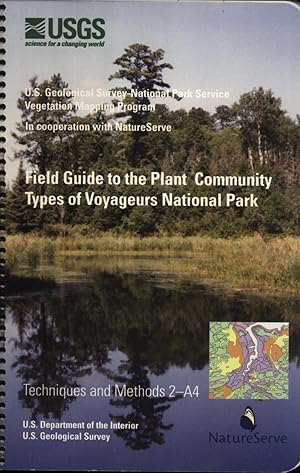
Field Guide to the Plant Community Types of Voyageurs National Park (Techniques and Methods)
Edité par U. S. Geological Survey/NatureServe, 2007
Vendeur : Masalai Press, Oakland, CA, Etats-Unis
Soft cover. Etat : Very Good. 156 pp., illustrations, maps, bibliography. The objective of the U.S. Geological Survey-National Park Service Vegetation Mapping Program is to classify, describe, and map vegetation for most of the park units within the National Park Service (NPS). The program was created in response to the NPS Natural Resources Inventory and Monitoring Guidelines issued in 1992. Products for each park include digital files of the vegetation map and field data, keys and descriptions to the plant communities, reports, metadata, map accuracy verification summaries, and aerial photographs. Interagency teams work in each park and, following standardized mapping and field sampling protocols, develop products and vegetation classification standards that document the various vegetation types found in a given park.


