
Montant total (1 article articles) :
Destination de la commande :

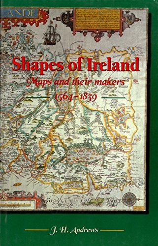
9780906602959 - Shapes of Ireland: Maps and Their Makers 1564-1839 de Andrews, J. H. (7 résultats)
Passer aux résultats principaux de la recherche
Type d'article
- Tous les types de produits
- Livres (7)
- Magazines & Périodiques
- Bandes dessinées
- Partitions de musique
- Art, Affiches et Gravures
- Photographies
- Cartes
- Manuscrits & Papiers anciens
Etat
Reliure
- Toutes
- Couverture rigide (7)
- Couverture souple
Particularités
Livraison gratuite
- Frais de port gratuits USA
Pays
Evaluation du vendeur
-
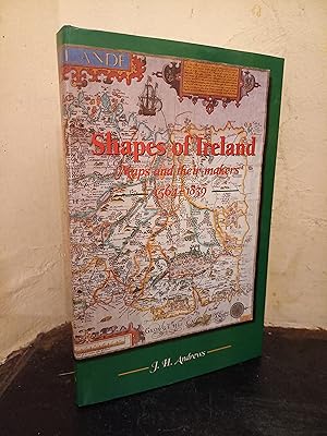
Shapes of Ireland: Maps and Their Makers 1564-1839
Edité par Geography Publications, 1997
ISBN 10 : 0906602955ISBN 13 : 9780906602959
Livre
Hardcover. Etat : As New. Etat de la jaquette : Near Fine. A clean unmarked copy in dust wrapper.
-
Shapes of Ireland. Maps and Their Makers 1564 - 1839.
Edité par Geography Publications, Dublin, 1997
ISBN 10 : 0906602955ISBN 13 : 9780906602959
Vendeur : Antiquariat Seibold, Schorndorf, WN, Allemagne
Evaluation du vendeur :

Livre
OPp., SU, 8°, 346 S., Abb., guter Zustand.
-

Shapes of Ireland : maps and their makers 1564-1839 / by J.H. Andrews
Edité par Dublin : Geography Publications, 1997
ISBN 10 : 0906602955ISBN 13 : 9780906602959
Livre Edition originale
First Edition. Very good cloth copy in a good if somewhat edge-nicked and dust-dulled dust-wrapper, now mylar-sleeved. Remains quite well-preserved overall. Physical description : ix, 346 pages : illustrations, maps ; 24 cm. SubjectCartography Ireland. Cartography Ireland History. Surveying Ireland. Ireland ; Surveys. Ireland. History of cartography. ; [Literature] 1997. Ireland Maps ; Catalogs. maps. Ireland. 1 Kg.
-
Shapes of Ireland: Maps and their makers 1564-1839
Edité par Geography Publications, 1997
ISBN 10 : 0906602955ISBN 13 : 9780906602959
Vendeur : Rare and Recent Books, County Mayo, MO, Irlande
Evaluation du vendeur :

Livre Edition originale
Hardcover. Etat : New. 1st Edition. Shapes of Ireland is the first book-length historical study of the mapping of Ireland as a whole. It examines nine early maps of special importance, each epitomising the best geographical knowledge of its day. The maps are chosen to span the period from the mid-sixteenth century, when Ireland's internal geography first became the subject of a general consensus, to the arrival of the Ordnance Survey in the early Victorian period. The cartographers represented are Gerard Mercator (1564), Baptista Boazio (1599), John Speed (1610), William Petty (1685), Henry Pratt (1708), Thomas Jefferys (1759), Daniel Beaufort (1792), Aaron Arrowsmith (1811) and Thomas Larcom (1839). In Shapes of Ireland each cartographer's professional mentors, disciples and competitors receive attention, and each map's construction, subject matter and style are analysed in detail. Apart from their technical interest, maps in general are revealed as products of social and economic forces, and as expressions of a country's geographical personality.
-
Shapes of Ireland : maps and their makers 1564-1839 / by J.H. Andrews
Edité par Dublin : Geography Publications, 1997
ISBN 10 : 0906602955ISBN 13 : 9780906602959
Livre Edition originale
First Edition. Very good cloth copy in a good if somewhat edge-nicked and dust-dulled dust-wrapper, now mylar-sleeved. Remains quite well-preserved overall. Physical description : ix, 346 pages : illustrations, maps ; 24 cm. SubjectCartography Ireland. Cartography Ireland History. Surveying Ireland. Ireland ; Surveys. Ireland. History of cartography. ; [Literature] 1997. Ireland Maps ; Catalogs. maps. Ireland. 1 Kg.
-
Shapes of Ireland: Maps and their makers 1564-1839
Edité par Geography Publications, 1997
ISBN 10 : 0906602955ISBN 13 : 9780906602959
Vendeur : The Castle Bookshop, Castlebar, MAYO, Irlande
Evaluation du vendeur :

Livre
Hardcover. Etat : New.
-
Shapes of Ireland: Maps and their makers 1564-1839
Edité par Geography Publications, 1997
ISBN 10 : 0906602955ISBN 13 : 9780906602959
Livre
Hardcover. Etat : Very Good. Dust Jacket may be missing.CDs may be missing. book.