
Montant total (1 article articles) :
Destination de la commande :

wrexham de ordnance survey (114 résultats)
Passer aux résultats principaux de la recherche
Type d'article
- Tous les types d'articles
- Livres (98)
- Magazines & Périodiques
- Bandes dessinées
- Partitions de musique
- Art, Affiches et Gravures
- Photographies
- Cartes (16)
-
Manuscrits &
Papiers anciens
Etat
Reliure
Particularités
- Edition originale
- Signé
- Jaquette
- Avec images (46)
- Sans impression ŕ la demande
Pays
Evaluation du vendeur
-
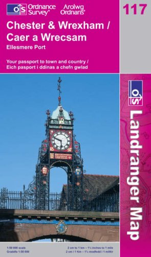
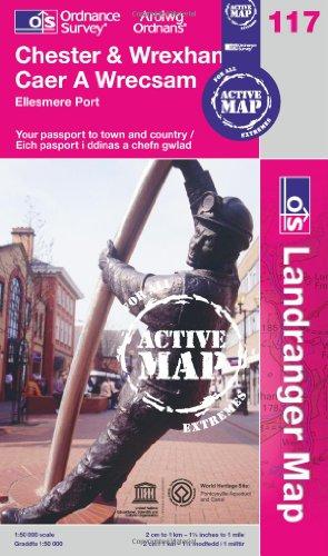
Chester and Wrexham: Caer a Wrecsam (Landranger Maps): sheet 117 (OS Landranger Map)
Edité par Ordnance Survey
ISBN 10 : 0319229009ISBN 13 : 9780319229002
Livre
Paperback. Etat : Very Good. The book has been read, but is in excellent condition. Pages are intact and not marred by notes or highlighting. The spine remains undamaged.
Plus de choix d'achat de la part d'autres vendeurs sur AbeBooks
Offres d'occasion ŕ partir de EUR 1,97
-
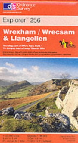
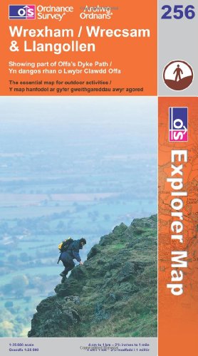
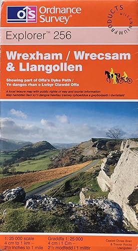
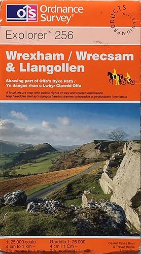
Wrexham/Wrecsam and Llangollen: Sheet 256 (Explorer Maps)
Edité par Ordnance Survey, 2000
ISBN 10 : 0319218929ISBN 13 : 9780319218921
Livre
map. Etat : Good. All orders are dispatched the following working day from our UK warehouse. Established in 2004, we have over 500,000 books in stock. No quibble refund if not completely satisfied.
Plus de choix d'achat de la part d'autres vendeurs sur AbeBooks
Offres d'occasion ŕ partir de EUR 2,02
-
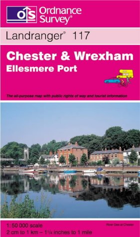
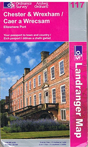
Chester and Wrexham, Ellesmere Port (Landranger Maps)
Edité par Ordnance Survey, 1997
ISBN 10 : 0319222780ISBN 13 : 9780319222782
Livre
Paperback. Etat : Very Good. The book has been read, but is in excellent condition. Pages are intact and not marred by notes or highlighting. The spine remains undamaged.
Plus de choix d'achat de la part d'autres vendeurs sur AbeBooks
Offres d'occasion ŕ partir de EUR 2,54
-
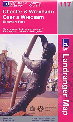
Chester and Wrexham, Ellesmere Port (OS Landranger Map): Sheet 117
Edité par Ordnance Survey, United Kingdom, Hants, 2009
ISBN 10 : 0319231607ISBN 13 : 9780319231609
Livre
Paperback. Etat : Very Good. Perfect for day trips and short breaks, the OS Landranger Map series covers Great Britain with 204 detailed maps. Each map provides all the information you need to get to know your local area and includes places of interest, tourist information, picnic areas and camp sites, plus Rights of Way information for England and Wales. The book has been read, but is in excellent condition. Pages are intact and not marred by notes or highlighting. The spine remains undamaged.
Plus de choix d'achat de la part d'autres vendeurs sur AbeBooks
Offres neuf ŕ partir de EUR 28,26
Offres d'occasion ŕ partir de EUR 3,49
Trouvez également Couverture souple
-
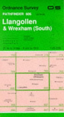
Llangollen and Wrexham South: Sheet 806 (Pathfinder Maps)
Edité par Ordnance Survey, 1991
ISBN 10 : 0319208060ISBN 13 : 9780319208069
Livre
map. Etat : Good. All orders are dispatched the following working day from our UK warehouse. Established in 2004, we have over 500,000 books in stock. No quibble refund if not completely satisfied.
Plus de choix d'achat de la part d'autres vendeurs sur AbeBooks
Offres d'occasion ŕ partir de EUR 4,49
-
![Image du vendeur pour Chester & Wrexham, Ellesmere Port (OS Landranger Map) by Ordnance Survey [Map ] mis en vente par booksXpress](https://pictures.abebooks.com/inventory/md/md31174125410.jpg)
Chester & Wrexham, Ellesmere Port (OS Landranger Map) by Ordnance Survey [Map ]
Edité par ORDNANCE SURVEY, 2001
ISBN 10 : 0319262154ISBN 13 : 9780319262153
Livre
No Binding. Etat : new.
Plus de choix d'achat de la part d'autres vendeurs sur AbeBooks
Offres neuf ŕ partir de EUR 11,68
Offres d'occasion ŕ partir de EUR 13,84
Trouvez également Couverture souple
-
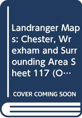
Landranger Maps: Chester, Wrexham and Surrounding Area Sheet 117 (OS Landranger Map)
Edité par Ordnance Survey, 1992
ISBN 10 : 0319221172ISBN 13 : 9780319221174
Livre
Befriedigend/Good: Durchschnittlich erhaltenes Buch bzw. Schutzumschlag mit Gebrauchsspuren, aber vollständigen Seiten. / Describes the average WORN book or dust jacket that has all the pages present.
Plus de choix d'achat de la part d'autres vendeurs sur AbeBooks
Offres d'occasion ŕ partir de EUR 2,68
-
Wrexham (Explorer Maps): Sheet 256 (OS Explorer Map)
Edité par Ordnance Survey, United Kingdom, Hants, 2005
ISBN 10 : 0319237249ISBN 13 : 9780319237243
Livre
Paperback. Etat : Very Good. OS Explorer Map is the Ordnance Survey's most detailed map and is recommended for anyone enjoying outdoor activities like walking, horse riding and off-road cycling. Providing complete GB coverage the series details essential information such as youth hostels, pubs and visitor information as well as rights of way, permissive paths and bridleways. The book has been read, but is in excellent condition. Pages are intact and not marred by notes or highlighting. The spine remains undamaged.
Plus de choix d'achat de la part d'autres vendeurs sur AbeBooks
Offres d'occasion ŕ partir de EUR 6,71
-
Chester and Wrexham: Caer a Wrecsam: sheet 117 (Landranger Maps)
Edité par Ordnance Survey, 2002
ISBN 10 : 0319227170ISBN 13 : 9780319227176
Carte
Soft cover. Etat : Good. good condition.
Plus de choix d'achat de la part d'autres vendeurs sur AbeBooks
Offres d'occasion ŕ partir de EUR 7,21
-

Wrexham / Wrecsam and Llangollen: Sheet 256 (Explorer Maps)
Edité par Ordnance Survey, 2005
ISBN 10 : 0319236498ISBN 13 : 9780319236499
Carte
Soft cover. Etat : Good. good condition.
Plus de choix d'achat de la part d'autres vendeurs sur AbeBooks
Offres neuf ŕ partir de EUR 4,95
Offres d'occasion ŕ partir de EUR 8,29
Trouvez également Couverture souple
-

Etat : As New. Unread book in perfect condition.
Plus de choix d'achat de la part d'autres vendeurs sur AbeBooks
Offres neuf ŕ partir de EUR 16,48
Offres d'occasion ŕ partir de EUR 13,84
Trouvez également Couverture souple
-
England and Wales 1 inch to a Mile Popular edition Sheet 51, Wrexham and Oswestry.
Edité par no date, pre WW2.
Vendeur : Saintfield Antiques & Fine Books, Northern Ireland, Royaume-Uni
Evaluation du vendeur :

Soft cover. Etat : Fair. linen backed, folded, no covers, uncoloured, in reasonable condition.
-

Etat : As New. Unread book in perfect condition.
Plus de choix d'achat de la part d'autres vendeurs sur AbeBooks
Offres neuf ŕ partir de EUR 19,91
Offres d'occasion ŕ partir de EUR 17,68
Trouvez également Couverture souple
-
Chester & Wrexham, Ellesmere Port
Edité par Ordnance Survey, 2016
ISBN 10 : 0319474402ISBN 13 : 9780319474402
Livre
Etat : As New. Unread book in perfect condition.
Plus de choix d'achat de la part d'autres vendeurs sur AbeBooks
Offres neuf ŕ partir de EUR 23,65
Offres d'occasion ŕ partir de EUR 17,68
-
Landranger sheet 117: Chester & Wrexham
Edité par Ordnance Survey, 2005
ISBN 10 : 0319229009ISBN 13 : 9780319229002
Vendeur : Acanthophyllum Books, Holywell, FLINT, Royaume-Uni
Membre d'association : PBFA
Evaluation du vendeur :

Carte
Folded map. Etat : V.g. Scale 1:50,000. Little used. Weight: 1 Language: English.
-
Chester & Wrexham, Ellesmere Port (OS Landranger Map Active): 117 (OS Landranger Active Map)
Edité par Ordnance Survey, 2012
ISBN 10 : 0319481514ISBN 13 : 9780319481516
Livre
Etat : VeryGood. Most items will be dispatched the same or the next working day.
-
Wrexham (North): sheet SJ25/35
Edité par Ordnance Survey, 1978
Vendeur : Acanthophyllum Books, Holywell, FLINT, Royaume-Uni
Membre d'association : PBFA
Evaluation du vendeur :
Carte
Folded map. Etat : V.g. Scale 1:25,000. Little used. Weight: 1 Language: English.
-
Explorer sheet 256: Wrexham
Edité par Ordnance Survey, 2000
ISBN 10 : 0319218929ISBN 13 : 9780319218921
Vendeur : Acanthophyllum Books, Holywell, FLINT, Royaume-Uni
Membre d'association : PBFA
Evaluation du vendeur :
Carte
Folded map. Etat : V.g. Scale 1:25,000. Little used. Weight: 1 Language: English.
-
Wrexham / Wrecsam & Llangollen: Explorer sheet 256
Edité par Ordnance Survey, 2000
ISBN 10 : 0319218929ISBN 13 : 9780319218921
Vendeur : Acanthophyllum Books, Holywell, FLINT, Royaume-Uni
Membre d'association : PBFA
Evaluation du vendeur :
Carte
Folded map. Etat : V.g. Scale 1:25,000. Slight edge wear to cover; price sticker. Weight: 1 Language: English & Welsh.
-
![Image du vendeur pour Ordnance Survey Contoured Road Map [One-inch Popular Edition], sheet 51, Wrexham and Oswestry. mis en vente par Cornell Books Limited](https://pictures.abebooks.com/inventory/md/md31088191352.jpg)
Ordnance Survey Contoured Road Map [One-inch Popular Edition], sheet 51, Wrexham and Oswestry.
Edité par Southampton: Ordnance Survey, 1937., 1937
Vendeur : Cornell Books Limited, Tewkesbury, Royaume-Uni
Membre d'association : PBFA
Evaluation du vendeur :

Carte
First printed in 1921; this copy is a reprint from 1937 (print code 2037). Mounted on cloth and folded in the original covers, with a front cover illustration by Ellis Martin. The map is in very good condition; the covers are in good condition (a little rubbed, rear cover torn with a little loss). Also covers Holt, Malpas, Llangollen, Ellesmere and Wem.
-

Ordnance Survey Road Map of Wrexham, Shrewsbury and Stoke on Trent: Sheet 16 - Layers (Scale: Half-Inch to One Mile)
Edité par Ordnance Survey, Southampton, 1929
Livre
Soft cover. Etat : Good ++. Linen backed map. Green cover.
-

Wrexham/Wrecsam and Llangollen (OS Explorer Map Active): No. 256
Edité par Ordnance Survey, 2006
ISBN 10 : 0319462714ISBN 13 : 9780319462713
Livre
Folded Map. Etat : Near Fine. Fully encapsulated OS Active Map in excellent condition.
-
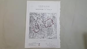
Map of The Contributory Boroughs of Wrexham and Holt in Denbigh and Report on the Boroughs
Edité par Zincographed at the Ordnance Survey Office under the supervision of Captain R M Parsons, Southampton, 1868
Carte
, 2 leaves, map hand coloured in outline showing the proposed parliamentary boundary for 1868, the parliamentary boundary for 1832, the municipal boundary, and the parish and township boundaries, map size approx 21 x 20 cm [8 x 8 inches], one inch to one mile. Accompanying page of text gives details of population and electors New edition , very good condition page size approx 36 x 26 cm [14 x 10 inches] map ISBN:
-
![Image du vendeur pour Ordnance Survey sheet 74 [Corwen, Derwen, Pentre Voelas, Llangollen, Llanfair, Wrexham, Ruabon, Bala, Hirnant, Pennant, Lfanuchllyn, Oswestry, Llanfyllin, Mynyddmawr - Oswestry Uplands, Berwyn, Vale of Llangollen and Dee Valley, Deeside and Wrexham, Clwydian Range, Denbigh Moors, Snowdonia, Wales, Shropshire] mis en vente par Antiqua Print Gallery](https://pictures.abebooks.com/inventory/md/md31583236559.jpg)
Etat : Good. OS #74 Dee Valley, Denbigh Moors & Clwydian Range. Llangollen Wrexham 1838 map. Antique folding hand coloured survey map, dissected and laid down on linen; Engraved at the Ordnance Map Office, Tower of London. Outline by J.W. Froggett. Writing by J.W. Froggett. Hills by Richard Tovey. Published by Thomas Frederick Colby. (1837-1838). 65.5 x 98.0cm, 25.75 x 38.5 inches; this is a folding map. Condition: Good. There is nothing printed on the reverse side, which is plain. The genesis of the Ordnance Survey's original one-inch per mile survey occurred in 1783 when the Royal Societies of Paris and London agreed to connect their two great cities by the use of triangulation to settle the dispute of their relative positions. This triangulation, completed by 1790, together with the outbreak of war with France in 1793, acted as a catalyst for the surveying of England. The survey began in Kent and by the end of the Napoleonic Wars in 1815 most of southern England had been mapped. By 1844, publication of the Old Series, one inch to one mile, was complete for the whole of Great Britain south of Preston and Hull. In spite of concerns about the cost of the survey, work continued until by 1870 the whole of England and Wales had been mapped.
