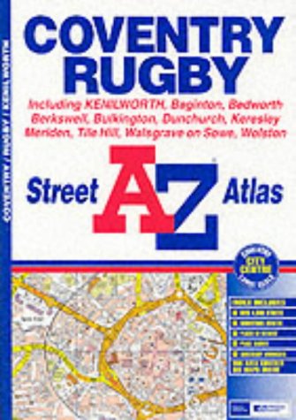
A-Z Coventry Street Atlas
L'ķdition de cet ISBN n'est malheureusement plus disponible.
Afficher les exemplaires de cette ķdition ISBN
- ╔diteurGeographers' A-Z Map Co Ltd
- Date d'ķdition2002
- ISBN 10 0850399106
- ISBN 13 9780850399103
- ReliureLivre brochķ
- Numķro d'ķdition5
- Nombre de pages33
Acheter D'occasion
ķtat : Assez bonThis atlas contains 33 pages of... En savoir plus sur cette ķdition

EUR 22,80
Frais de port :
EUR 5,60
De Royaume-Uni vers Etats-Unis
Meilleurs rķsultats de recherche sur AbeBooks
Image d'archives
A-Z Coventry Street Atlas (A-Z Street Maps & Atlases S.)
Editķ par
HarperCollins Publishers, United Kingdom
(2002)
ISBN 10 : 0850399106
ISBN 13 : 9780850399103
Ancien ou d'occasion
Paperback
Quantitķ disponible : 3
Vendeur :
Evaluation vendeur
Description du livre Paperback. Etat : Very Good. This atlas contains 33 pages of coloured street mapping extending from the centres of Coventry and Rugby to cover an area which includes Bedworth, Barnacle, Walsgrave on Sowe, Bretford, Long Lawford, Clifton Upon Dunsmore, Hillmorton, Dunchurch, Thurlaston, Wolston, Baginton, Gibbet Hill, Burton Green, Berkswell, Meriden and Corley. Also included is Kenilworth, an inset of Bulkington and a large scale Coventry City Centre map. The index section of the atlas lists streets, selected flats, walkways and subsidiary names, place and area names and selected places of interest. The book has been read, but is in excellent condition. Pages are intact and not marred by notes or highlighting. The spine remains undamaged. N░ de rķf. du vendeur GOR002875016
Acheter D'occasion
EUR 22,80
Autre devise