Articles liķs Ó Shapes of Ireland: Maps and Their Makers 1564-1839
L'ķdition de cet ISBN n'est malheureusement plus disponible.
Afficher les exemplaires de cette ķdition ISBN
Ireland, Geography Publications, 1997, 8vo (cm. 24 x 15,5) legatura tutta tela con sovraccoperta illustrata a colori, pp. X-346 con numerose cartine nel testo (stato di nuovo) .
Les informations fournies dans la section ½ Synopsis ╗ peuvent faire rķfķrence Ó une autre ķdition de ce titre.
- ╔diteurGeography Publications
- Date d'ķdition1997
- ISBN 10 0906602955
- ISBN 13 9780906602959
- ReliureReliķ
- Nombre de pages346
Acheter neuf
En savoir plus sur cette ķdition
EUR 30
Frais de port :
EUR 17
De Irlande vers Etats-Unis
Meilleurs rķsultats de recherche sur AbeBooks
Image d'archives
Shapes of Ireland: Maps and their makers 1564-1839
Editķ par
Geography Publications
(1997)
ISBN 10 : 0906602955
ISBN 13 : 9780906602959
Neuf
Couverture rigide
Edition originale
Quantitķ disponible : 2
Vendeur :
Evaluation vendeur
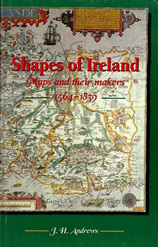
Description du livre Hardcover. Etat : New. 1st Edition. Shapes of Ireland is the first book-length historical study of the mapping of Ireland as a whole. It examines nine early maps of special importance, each epitomising the best geographical knowledge of its day. The maps are chosen to span the period from the mid-sixteenth century, when Ireland?s internal geography first became the subject of a general consensus, to the arrival of the Ordnance Survey in the early Victorian period. The cartographers represented are Gerard Mercator (1564), Baptista Boazio (1599), John Speed (1610), William Petty (1685), Henry Pratt (1708), Thomas Jefferys (1759), Daniel Beaufort (1792), Aaron Arrowsmith (1811) and Thomas Larcom (1839). In Shapes of Ireland each cartographer?s professional mentors, disciples and competitors receive attention, and each map?s construction, subject matter and style are analysed in detail. Apart from their technical interest, maps in general are revealed as products of social and economic forces, and as expressions of a country?s geographical personality. N░ de rķf. du vendeur 005032
Acheter neuf
EUR 30
Autre devise
Image d'archives
Shapes of Ireland: Maps and their makers 1564-1839
Editķ par
Geography Publications
(1997)
ISBN 10 : 0906602955
ISBN 13 : 9780906602959
Neuf
Couverture rigide
Quantitķ disponible : 1
Vendeur :
Evaluation vendeur
Description du livre Hardcover. Etat : New. N░ de rķf. du vendeur WU-8SJS-88MK
Acheter neuf
EUR 36,01
Autre devise