
Articles liés à Collins 2001 Map of Europe: Countries in Colour
Synopsis
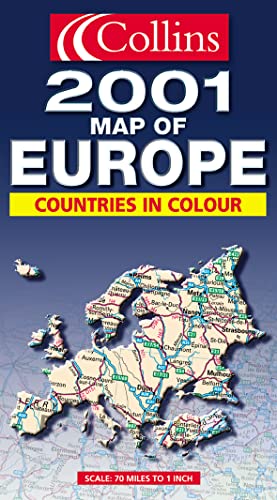
Revised and updated routeplanning map of Europe. Scale 1 : 4 500 000 (1cm to 45 km/1 inch to 71 miles)
AREA OF COVERAGE
From the North Cape to Gibraltar and from Ireland to east of Moscow. Also includes Iceland and Cyprus.
MAP DETAIL
Politically coloured mapping showing roads, railways, airports, cities and towns.
INCLUDES
Index to place names on reverse of sheet. Distance chart giving distances in kilometres between main towns. Key to approved country code abbreviations – GB, F, D etc. Map legend in English, French, German, Spanish and Italian.
WHO THE PRODUCT IS AIMED AT
Home and business reference users.
Les informations fournies dans la section « Synopsis » peuvent faire référence à une autre édition de ce titre.
À propos de la quatrième de couverture
Revised and updated routeplanning map of Europe.
Scale 1:4,500,000 (1cm to 45 km/1 inch to 71 miles)
AREAS OF COVERAGE
From the north Cape to Gibraltar and from Ireland to east of Moscow. Also includes Iceland and Cyprus.
MAP DETAIL
Politically coloured mapping showing roads, railways, airports, cities and towns.
INCLUDES
Index to place names on reverse of sheet. Distance chart giving distances in kilometres between main towns. Key to approved country code abbreviations – GB, F, D etc. Map legend in English, French, German, Spanish and Italian.
For home and business reference users.
Les informations fournies dans la section « A propos du livre » peuvent faire référence à une autre édition de ce titre.
Résultats de recherche pour Collins 2001 Map of Europe: Countries in Colour

Image d'archives
2001 Map of Europe (Collins World Travel Maps)
Edité par
Collins 06/11/2000, 2000
ISBN 10 : 0004491181
ISBN 13 : 9780004491189
Ancien ou d'occasion
Paperback
Vendeur : Bahamut Media, Reading, Royaume-Uni
Évaluation du vendeur 4 sur 5 étoiles

Paperback. Etat : Very Good. Shipped within 24 hours from our UK warehouse. Clean, undamaged book with no damage to pages and minimal wear to the cover. Spine still tight, in very good condition. Remember if you are not happy, you are covered by our 100% money back guarantee. N° de réf. du vendeur 6545-9780004491189
Acheter D'occasion
EUR 5,34
Expédition à EUR 8,28
Expédition depuis Royaume-Uni vers Etats-Unis
Expédition depuis Royaume-Uni vers Etats-Unis
Quantité disponible : 1 disponible(s)
Image d'archives
2001 Map of Europe (Collins World Travel Maps)
Vendeur : AwesomeBooks, Wallingford, Royaume-Uni
Évaluation du vendeur 5 sur 5 étoiles

Paperback. Etat : Very Good. 2001 Map of Europe (Collins World Travel Maps) This book is in very good condition and will be shipped within 24 hours of ordering. The cover may have some limited signs of wear but the pages are clean, intact and the spine remains undamaged. This book has clearly been well maintained and looked after thus far. Money back guarantee if you are not satisfied. See all our books here, order more than 1 book and get discounted shipping. . N° de réf. du vendeur 7719-9780004491189
Acheter D'occasion
EUR 91,69
Expédition à EUR 4,89
Expédition depuis Royaume-Uni vers Etats-Unis
Expédition depuis Royaume-Uni vers Etats-Unis
Quantité disponible : 1 disponible(s)