Articles liés à Atlas routiers : World Atlas - Concise Edition

Synopsis
A completely new atlas presenting an accurate and exciting view of the world through innovative reference maps and a stunning collection of geographical images.
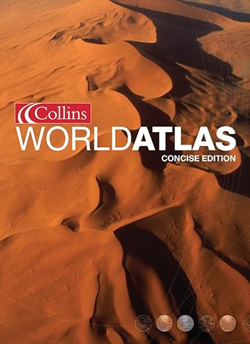
A development of the ground-breaking world atlas concept established by the highly successful Collins New World Atlas, this new atlas presents an exciting and accurate view of today's world. Detailed reference maps of all parts of the world and a stunning collection of images provide a dramatic means of visualizing the Earth. These are complemented by satellite images, space and aerial photographs, 3-D terrain models, graphics and statistics. Details of all the world's states and territories, including flags and key facts – area, population, languages, religions and currency – are included. All the material is presented in a highly attractive and accessible style.
The information is in distinctive continental sections and the combination of accurate and up-to-date maps, environmental images and detailed statistics make this the ideal atlas for exploring the world from home and for school and college study, travel planning and finding places in the news.
106 pages of reference maps provide attractive and balanced coverage of the whole world, with all features named on the maps being included in the index which contains over 60,000 place names. The index is fully cross-referenced and contains gazetteer entries with useful geographical facts for selected places and features.
Les informations fournies dans la section « Synopsis » peuvent faire référence à une autre édition de ce titre.
À propos de la quatrième de couverture
The Collins World Atlas Concise Edition presents an exciting view of the world through innovative maps and a stunning collection of geographical images.
Detailed reference maps, presented in a highly distinctive and dynamic style, provide balanced coverage of the whole world, with the accuracy associated with Collins atlases. These are complemented by highly illustrative thematic spreads which include satellite images, space and aerial photographs, 3-D terrain models, graphics and statistics.
The index, which contains over 60,000 place names, is fully cross-referenced and contains gazetteer entries with useful geographical facts for selected places and features.
This is the ideal atlas for exploring the world from home, for travel planning, and for school and college study.
Les informations fournies dans la section « A propos du livre » peuvent faire référence à une autre édition de ce titre.
EUR 6,37 expédition depuis Royaume-Uni vers France
Destinations, frais et délaisRésultats de recherche pour Atlas routiers : World Atlas - Concise Edition
Collins World Atlas: Concise Edition
Vendeur : Reuseabook, Gloucester, GLOS, Royaume-Uni
Hardcover. Etat : Used; Very Good. Dispatched, from the UK, within 48 hours of ordering. Though second-hand, the book is still in very good shape. Minimal signs of usage may include very minor creasing on the cover or on the spine. N° de réf. du vendeur CHL1956811
Quantité disponible : 1 disponible(s)
Collins World Atlas
Vendeur : Better World Books Ltd, Dunfermline, Royaume-Uni
Etat : Good. Ships from the UK. Former library book; may include library markings. Used book that is in clean, average condition without any missing pages. N° de réf. du vendeur 41250843-75
Quantité disponible : 1 disponible(s)
Collins World Atlas
Vendeur : WeBuyBooks, Rossendale, LANCS, Royaume-Uni
Etat : Good. Most items will be dispatched the same or the next working day. A copy that has been read but remains in clean condition. All of the pages are intact and the cover is intact and the spine may show signs of wear. The book may have minor markings which are not specifically mentioned. N° de réf. du vendeur rev7195874643
Quantité disponible : 1 disponible(s)
Collins World Atlas Concise Edition
Vendeur : Spafford Books (ABAC / ILAB), Regina, SK, Canada
[0 00 714498 9] 2002. (hardcover) Fine in very good dust jacket. 248pp. Folio. Includes maps as well as a collection of geographical images, satellite images, statistics. The index contains more the 60,000 place names and is cross referenced. Jacket shows light wear along the upper and lower edges. The book is in fine condition. N° de réf. du vendeur 131210
Quantité disponible : 1 disponible(s)

