Synopsis
Floodplain maps serve as the basis for determining whether homes or buildings require flood insurance under the National Flood Insurance Program run by the Federal Emergency Management Agency (FEMA). Approximately $650 billion in insured assets are now covered under the program. FEMA is modernizing floodplain maps to better serve the program. However, concerns have been raised as to the adequacy of the base map information available to support floodplain map modernization.
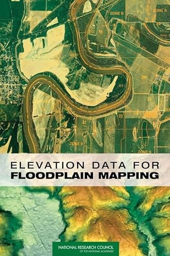
Elevation Data for Floodplain Mapping shows that there is sufficient two-dimensional base map imagery to meet FEMA's flood map modernization goals, but that the three-dimensional base elevation data that are needed to determine whether a building should have flood insurance are not adequate. This book makes recommendations for a new national digital elevation data collection program to redress the inadequacy.
Policy makers; property insurance professionals; federal, local, and state governments; and others concerned with natural disaster prevention and preparedness will find this book of interest.
Les informations fournies dans la section ę Synopsis Ľ peuvent faire rťfťrence ŗ une autre ťdition de ce titre.
ņ propos de l'auteur
Committee on Floodplain Mapping Technologies, National Research Council
Les informations fournies dans la section ę A propos du livre Ľ peuvent faire rťfťrence ŗ une autre ťdition de ce titre.
Autres ťditions populaires du mÍme titre

Rťsultats de recherche pour Elevation Data for Floodplain Mapping

Image d'archives
Elevation Data for Floodplain Mapping
Editť par
National Academies Press, 2007
ISBN 10 : 0309104092
ISBN 13 : 9780309104098
Ancien ou d'occasion
Soft cover
Edition originale
Vendeur : Chiefly Books, Cheyenne, WY, Etats-Unis
…valuation du vendeur 5 sur 5 ťtoiles
![]()
Soft cover. Etat : Near Fine. 1st Edition. like new copy in glossy map covers. Nį de rťf. du vendeur 017454
Acheter D'occasion
EUR 13,56
Expťdition ŗ†EUR 2,63
Expťdition nationale†: Etats-Unis
Expťdition nationale†: Etats-Unis
Quantitť disponible : 1 disponible(s)
Image d'archives
Elevation Data for Floodplain Mapping
Editť par
National Academies Press, 2007
ISBN 10 : 0309104092
ISBN 13 : 9780309104098
Ancien ou d'occasion
Couverture souple
Vendeur : Arbor Scout, Ann Arbor, MI, Etats-Unis
…valuation du vendeur 4 sur 5 ťtoiles
![]()
Etat : Used: Like New. Nį de rťf. du vendeur L1-NR4N-5FOQ
Acheter D'occasion
EUR 26,21
Expťdition ŗ†EUR 5,26
Expťdition nationale†: Etats-Unis
Expťdition nationale†: Etats-Unis
Quantitť disponible : 1 disponible(s)