
Articles liés à Exploring Ocean Environment
Synopsis
Explore, analyze, and elaborate on information you extract using ArcGIS(R) software with EXPLORING OCEAN ENVIRONMENTS: GIS INVESTIGATIONS FOR THE EARTH SCIENCES. This interactive investigation guide lets you tap the power of the ArcGIS(R) software to explore, manipulate, and analyze large data sets. This guide emphasizes the visualization, analysis, and multimedia integration capabilities inherent to GIS. The GIS information has been preprocessed into maps and legends, and some procedures have been automated so you can focus on the science content.
Les informations fournies dans la section « Synopsis » peuvent faire référence à une autre édition de ce titre.
Vos droits au titre de la garantie légale : Chaque consommateur de l'UE bénéficie d'au moins deux ans de protection au titre de la garantie légale pour tout bien de consommation vendu dans l'UE. Voir plus
Résultats de recherche pour Exploring Ocean Environment

Image d'archives
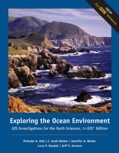
Exploring the Ocean Environment : GIS Investigations for the Earth Sciences
Edité par
Brooks/Cole, 2006
ISBN 10 : 0495115061
ISBN 13 : 9780495115069
Ancien ou d'occasion
Couverture souple
Vendeur : Better World Books: West, Reno, NV, Etats-Unis
Évaluation du vendeur 5 sur 5 étoiles

Etat : Good. 2nd Edition. Former library copy. Pages intact with minimal writing/highlighting. The binding may be loose and creased. Dust jackets/supplements are not included. Includes library markings. Stock photo provided. Product includes identifying sticker. Better World Books: Buy Books. Do Good. N° de réf. du vendeur 14225800-75
Acheter D'occasion
EUR 52,08
Livraison gratuite
Expédition nationale : Etats-Unis
Expédition nationale : Etats-Unis
Quantité disponible : 1 disponible(s)