Articles liés à Exploring the Dynamic Earth: Gis Investigations for...
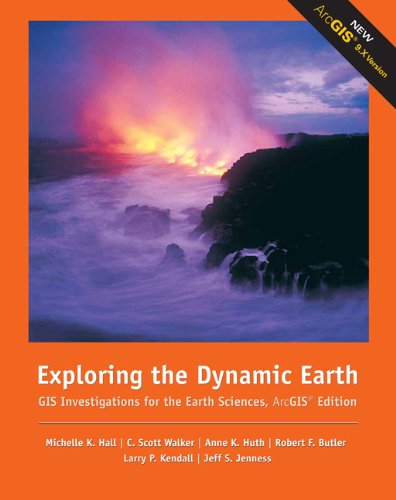
Exploring the Dynamic Earth: Gis Investigations for the Earth Sciences Arcgis Edition - Couverture souple

Synopsis
Explore, analyze, and elaborate on information you extract using ArcGIS(r) software with EXPLORING THE DYNAMIC EARTH: GIS INVESTIGATIONS FOR THE EARTH SCIENCES. This interactive investigation lets you tap the power of the ArcGIS(r) software to explore, manipulate, and analyze large data sets. This guide emphasizes the visualization, analysis, and multimedia integration capabilities inherent to GIS. The GIS information has been preprocessed into maps and legends, and some procedures have been automated so you can focus on the science content.
Les informations fournies dans la section « Synopsis » peuvent faire référence à une autre édition de ce titre.
EUR 6,43 expédition depuis Etats-Unis vers France
Destinations, frais et délaisRésultats de recherche pour Exploring the Dynamic Earth: Gis Investigations for...
Exploring the Dynamic Earth: GIS Investigations for the Earth Sciences, ArcGIS Edition
Vendeur : BooksRun, Philadelphia, PA, Etats-Unis
Paperback. Etat : Very Good. 1. It's a well-cared-for item that has seen limited use. The item may show minor signs of wear. All the text is legible, with all pages included. It may have slight markings and/or highlighting. N° de réf. du vendeur 0495115096-8-1
Quantité disponible : 1 disponible(s)
Exploring the Dynamic Earth: GIS Investigations for the Earth Sciences, ArcGIS Edition
Vendeur : World of Books (was SecondSale), Montgomery, IL, Etats-Unis
Etat : Good. Item in good condition. Textbooks may not include supplemental items i.e. CDs, access codes etc. N° de réf. du vendeur 00080191723
Quantité disponible : 1 disponible(s)

