Synopsis
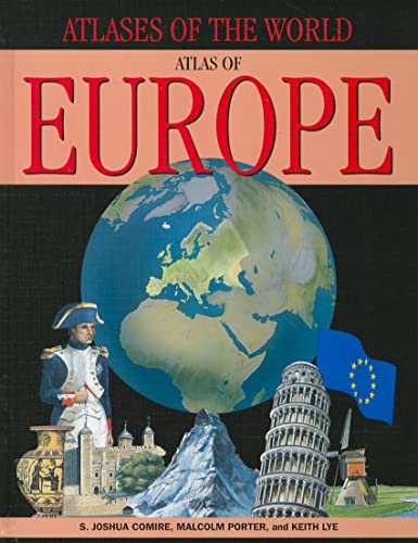
The many nations that make up the European continent are home to a stunning variety of people and cultures. The borders of today's Europe are the result of centuries of conflict and compromises. Now largely bound together in an alliance by the European Union, the countries of Europe are presented here as full-color maps. This atlas is a valuable, engaging resource for students.
Présentation de l'éditeur
"The Continents in Close-Up" series explores individual continents through a dynamic combination of photographs, maps, artwork, diagrams, charts and short paragraphs of information. There is a page for each of the major countries and areas featuring a map showing the major cities, rivers and mountain ranges, physical information such as population and area, and other highlighted points of interest whether they be cultural, economic or natural. Another key element of these wonderful books is the thematic maps which show the whole of the continent colour coded to reflect populations densities, beliefs, climate and vegetation, ecology and environment, economy and politics and history.
Les informations fournies dans la section « A propos du livre » peuvent faire référence à une autre édition de ce titre.
