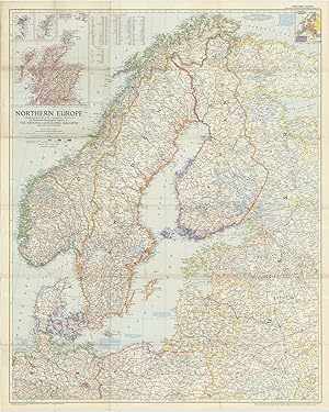
Northern Europe Compiled and Drawn in the Cartographic Section of the National Geographic Society for the National Geographic Magazine, John Oliver La Gorce, Editor. Albers Conical Equal-Area Projection, Scale 1:2,500,000 or 39.46 Miles to the Inch. Russian and Polish boundaries as of June 1, 1954 according to treaties and claims.
[NATIONAL GEOGRAPHIC], LA GORCE, John Oliver (ed.)
Vendu par Robert Frew Ltd. ABA ILAB, London, Royaume-Uni
Membre d'association :
Vendeur AbeBooks depuis 31 mars 1998
Ancien(s) ou d'occasion
Quantité disponible : 1 disponible(s)
Ajouter au panier