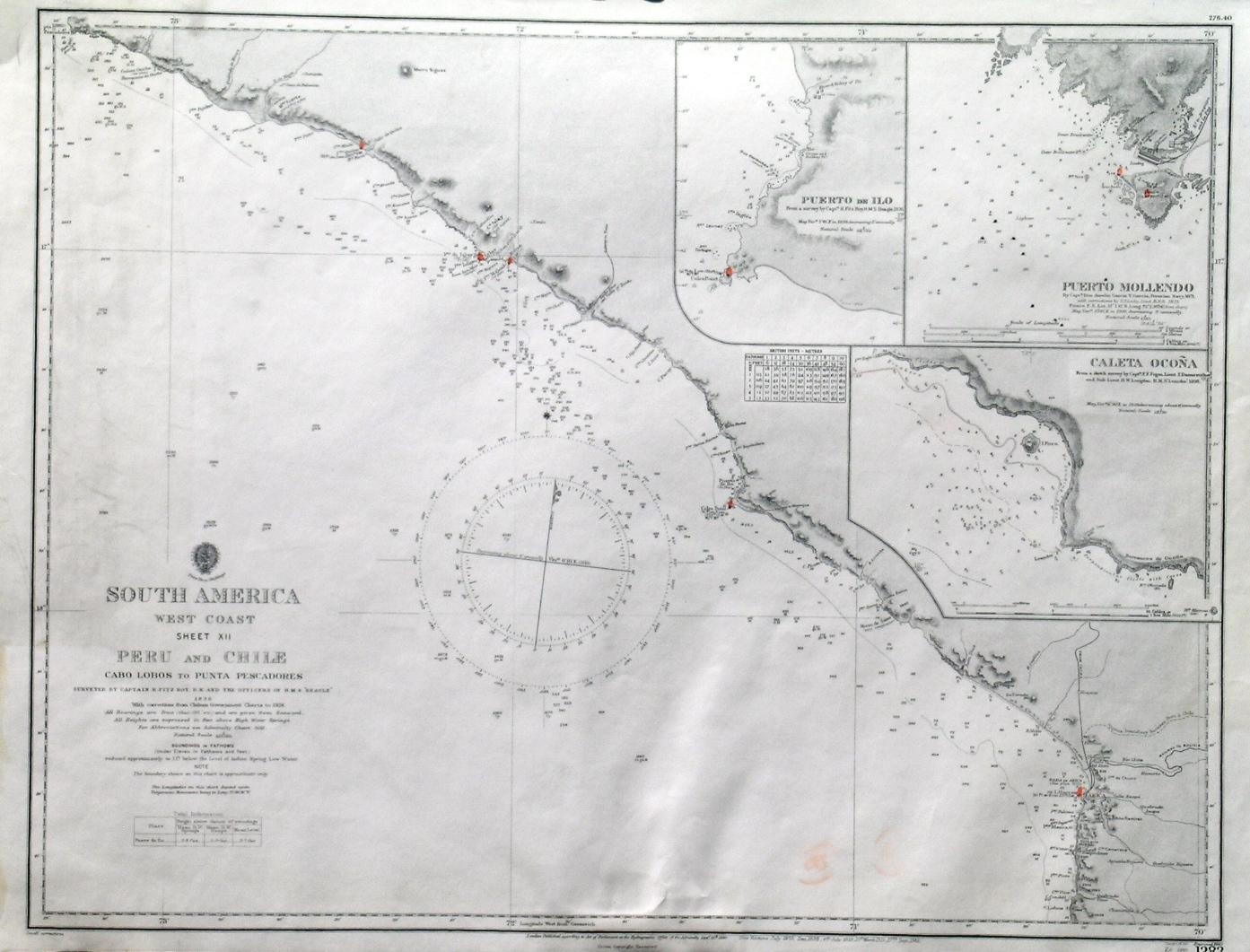
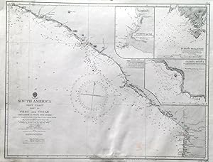
'SOUTH AMERICA WEST COAST SHEET XII / PERU AND CHILE / CABO LOBOS TO PUNTA PESCADORES'. Sea chart of the south Peruvian coastline to the Chilean border at Arica, with 3 inset harbour plans of Puerto de Ilo, Puerto Mollendo and Caleta Ocona. First published at the Admiralty 1840, and now with a few corrections by the
Admiralty Charts.
Edité par Admiralty 1940
Carte
Etat : Fine
Vendeur Garwood & Voigt, Sevenoaks, Royaume-Uni
Évaluation du vendeur 5 sur 5 étoiles
![]()
Vendeur AbeBooks depuis 25 novembre 2013
Ancien(s) ou d'occasion -
Prix:
EUR 110,31
Autre devise
EUR 26,18
expédition depuis Royaume-Uni vers France
Destinations, frais et délais
Quantité disponible : 1 disponible(s)
Ajouter au panier