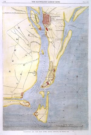
'WILMINGTON AND CAPE FEAR RIVER'. Map of the area between Wilmington and Cape Fear on Smith's Island, showing the forts and batteries during the Civil War. For the Illustrated London News designed and engraved by
Dower, J.
Vendu par Garwood & Voigt, Sevenoaks, Royaume-Uni
Vendeur AbeBooks depuis 25 novembre 2013
Ancien(s) ou d'occasion
Etat : Occasion - Très bon
Quantité disponible : 1 disponible(s)
Ajouter au panier