


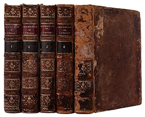
Description de l'Univers, contenant les differents systemes du monde, les cartes generales & particulieres de la Geographie Ancienne & Moderne: les Plans & les Profils des principales Villes & des autres lieux plus considerables de la Terre; avec les Portraits des Souverains qui y commandent, leurs Blasons, Titres & Livr�es: et les Moeurs, Religions, Gouvernemens & divers habillemens de chaque Nation.
MALLET, Allain Manesson.
Edit� par ParisChez Denys Thierry ., 1683
Etat : Occasion
Couverture rigide
Vendu par Robert Frew Ltd. ABA ILAB, London, Royaume-Uni
Membre d'association :
Vendeur AbeBooks depuis 31 mars 1998
�valuation du vendeur 5 sur 5 �toiles
![]()
Ancien(s) ou d'occasion - Couverture rigide
Prix:
EUR 11�854,46
Autre devise
EUR 11,51
exp�dition depuis Royaume-Uni vers Etats-Unis
Destinations, frais et d�lais
Quantit� disponible : 1 disponible(s)
Ajouter au panier